Collaborative Watershed
Mapping Tool
Data-driven restoration and conservation
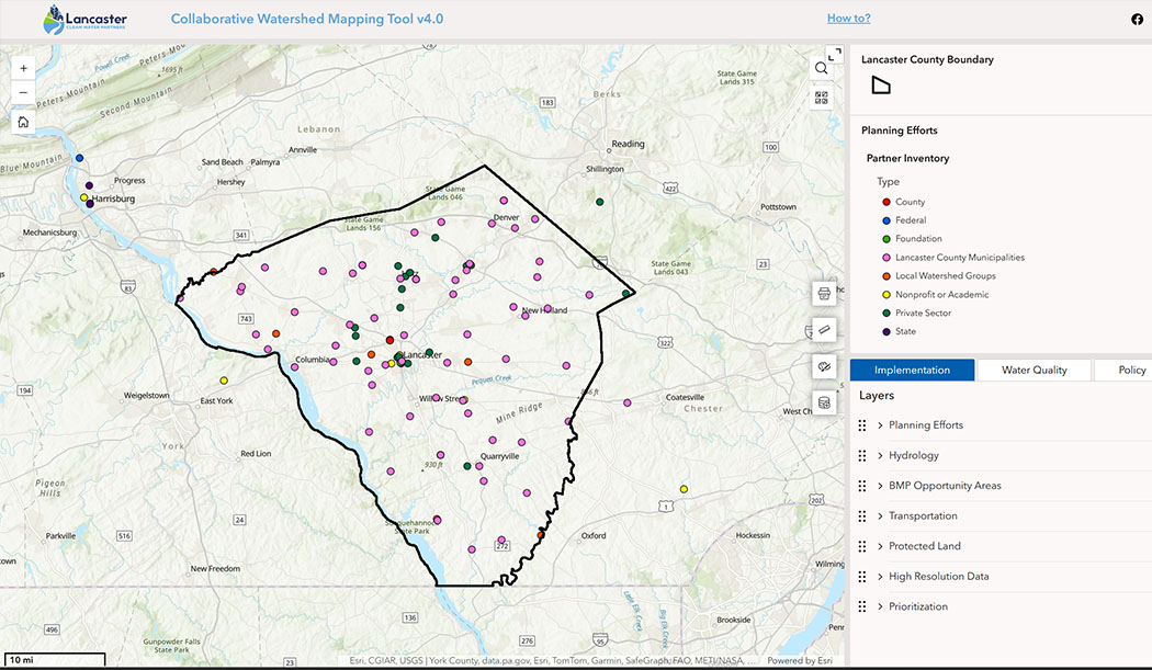
This interactive tool offers user-friendly features, including customizable data layers, address-specific searches, and detailed popups for in-depth information. Tabs are categorized for different focus areas, such as implementation strategies, water quality monitoring, and policy insights, allowing users to navigate a comprehensive set of resources. By equipping conservationists, government agencies, and nonprofit organizations with actionable data, the tool plays a critical role in advancing Lancaster County’s shared goal of achieving clean and clear water by 2040.
Mapping tool instructions
Data layer descriptions
Reminder: Results should be ground-truthed using local knowledge through stakeholder and landowner participation, as the data is not intended to provide site-specific engineering/project design. The Chesapeake Conservancy and Lancaster Clean Water Partners do not guarantee the accuracy of suggested practice locations. Local knowledge and planning expertise is required to apply the datasets in an appropriate manner and to ensure restoration projects will result in significant water quality benefits on-the-ground.
MONTHLY NEWSLETTER
Subscribe to our monthly newsletter and stay up to date on what we've accomplished, county news, job openings, and more!
BECOME A PARTNER ORGANIZATION
If you share our vision of clean and clear water in Lancaster County by 2040, we want to hear from you!